As an established international provider of radiation services and through our membership of the Inogen® Alliance, a global corporation providing environmental, health, safety, energy and sustainability solutions, we deliver quality radiological surveys throughout the world.
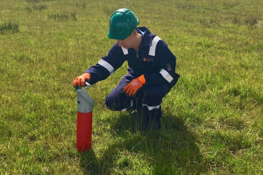
A radiological land survey - often referred to as a radiological walkover survey - aims to characterise the radiological features of a piece of land. Data is acquired across a plot of land by measuring gamma radiation with highly sensitive survey equipment, achieving a survey resolution of 1m x 1m. The data is processed and extrapolated in order to generate contour plots (heat maps) of large areas ranging from 0.5 hectares (Ha) to several tens of Ha.
Most radiological land surveys are commissioned for one of two reasons;
The former is most often concerned with radium artefacts from historical manufacturing and / or use of radioluminised dials, whereas the latter may be commissioned due to a site’s prior industrial uses presenting the potential for NORM contamination. The most common cause for concern regarding NORM contamination is associated with a history of refractory (high-temperature) processes, for example on the site of a former steel works.
We take a collaborative approach in planning radiological land surveys by working with the client and, where necessary, the local authorities to build a picture of a site’s history before carrying out the survey. The topography of the site and general character with regards to access for surveyors will be assessed to determine if any preparatory works need to be undertaken prior to the survey taking place.
Reports produced following radiological land surveys consist of qualitative and quantitative descriptions of the site’s radiological character as well as interpolated data contour plots to allow stakeholders to easily interpret the entire data set in a single image. Statistical analysis of the survey data is carried out as standard and this analysis is used to “contrast” the contour plots in a manner that emphasises areas of radiological interest.
Additionally, we carry out the screening of arisings (e.g. from boreholes or trial pits) during site investigation work as a standalone service or to supplement a survey.
Every site is different, and each survey is tailored to your specific requirements. As an established international provider of radiation services and through our membership of the Inogen® Alliance, a global corporation providing multinational organisations with consistent, high quality and cost-effective environmental, health, safety, energy and sustainability solutions, we deliver quality radiological surveys throughout the world.
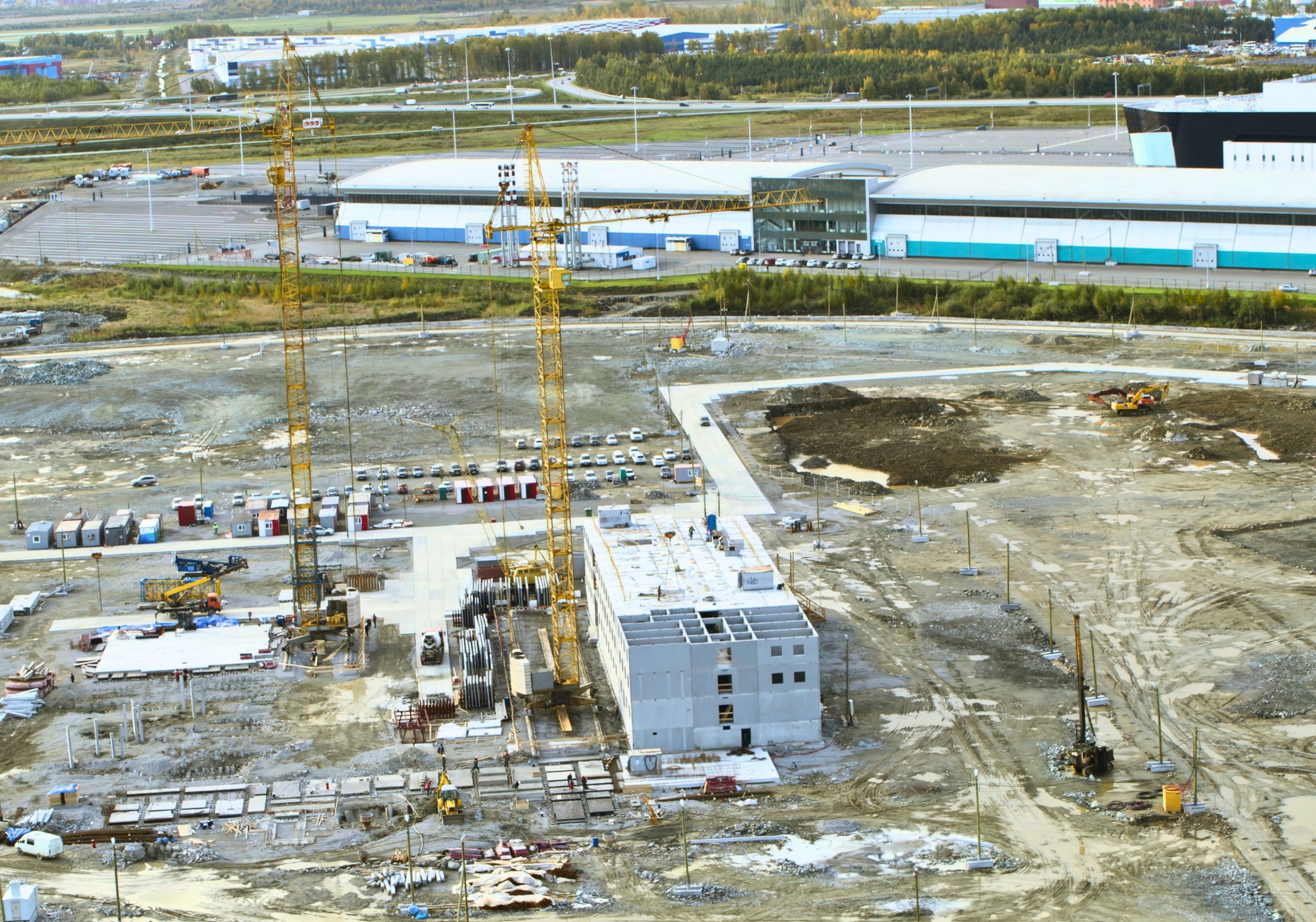
As we continue to see a move towards sustainable development, an important element in this is the re-use of previously developed land, also known as “brownfield” sites. Due to the nature of previous construction, building use and demolition practices, this land may have become contaminated. Most radiological land surveys conducted in the UK are prompted by planning conditions stipulated by local authorities under the instruction of the relevant environmental regulator where the commissioning of a radiological land survey may be required to discharge these planning conditions. We are also seeing a rising demand for radiological land surveys from prospective land buyers who want to identify any potentially litigious radiological legacies associated with sites prior to purchase.
Before work can commence on a site, it is important to understand the nature of the site, including its history, previous uses and crucially, any potential land contamination, as this plays a key part in the planning process.
Where the requirement to carry out a radiological land survey is stipulated in planning conditions, it is the responsibility of the applicant to discharge those conditions by ensuring such a survey is commissioned. In some circumstances, the conditions may require further radiological survey work to be conducted after the survey, for example, continuous representative radiological screening of excavated material throughout a construction project.
It is important to note that, in the event that regulated radioactivity is positively identified during a radiological land survey, a radioactive substances permit may have to be obtained before any further work on the site can continue. In such circumstances, the authorised person (e.g. land owner or planning applicant) will need to consult with a Radioactive Waste Adviser (RWA).
Download a printable PDF of this page
Part of


Explore the other companies in the Lucion Group
All of our services are accessed and delivered through our award-winning risk compliance management software NexGen


1st Floor, Air Products Building
Enterprise Drive
Westhill Industrial Estate
Westhill, Aberdeenshire
AB32 6TQ